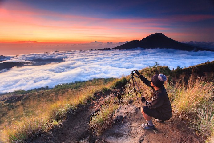
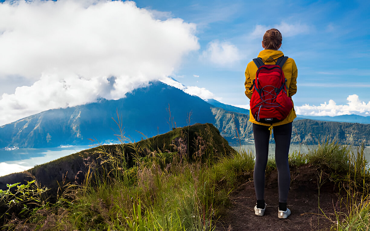
As Bali continues to grow in popularity, the island's leaders are focusing on improving safety measures on its famed volcanic hiking trails. Iconic hikes up Mount Batur and Mount Agung have long drawn adventure-seeking tourists for the breathtaking sunrise views. However, recent years have seen an increase in accidents on these routes, raising concerns about the need for enhanced safety protocols.
Bali to Boost Safety Measures on Popular Volcano Hikes Ahead of 2025
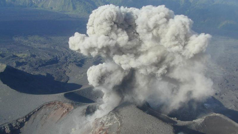
Mount Agung is currently closed for public access until November 30th due to ongoing religious ceremonies, while Mount Batur remains open as the island gears up for the busy holiday season. Officials have gathered to address how best to protect hikers as they explore Bali’s volcanic trails.
Acting Regent of Bangli, I Made Rentin, recently convened a strategic meeting with stakeholders to discuss regulatory measures for the climbing zones within the Bangli Regency, particularly Mount Batur, Bukit Trunyan, and Mount Abang. The initiative aims to ensure safer hiking practices and maintain environmental sustainability while supporting tourism.
During the meeting, participants acknowledged that several accidents have occurred on Bali's mountains in recent months, emphasizing the need for a collaborative approach to safety. This includes coordination across various agencies, including Bali’s conservation department (BKSDA), to establish necessary hiking permits and regulate service providers offering mountain excursions.
The goal is to create a system that maintains high safety standards without becoming overly restrictive, allowing both tourists and local guides to enjoy these experiences responsibly. Discussions also touched on the distribution of revenue from permit fees, which would support further safety measures and conservation efforts in the region.
Further, officials in Kintamani, a high-risk area for extreme weather and natural disasters, have been actively engaging with local businesses on disaster preparedness. The focus is on training tourism operators to handle potential threats like landslides, falling trees, and flooding—particularly crucial during Bali’s rainy season, when Lake Batur's water levels can rise unexpectedly. Disaster simulations and drills are planned to improve response readiness and prioritize human safety.
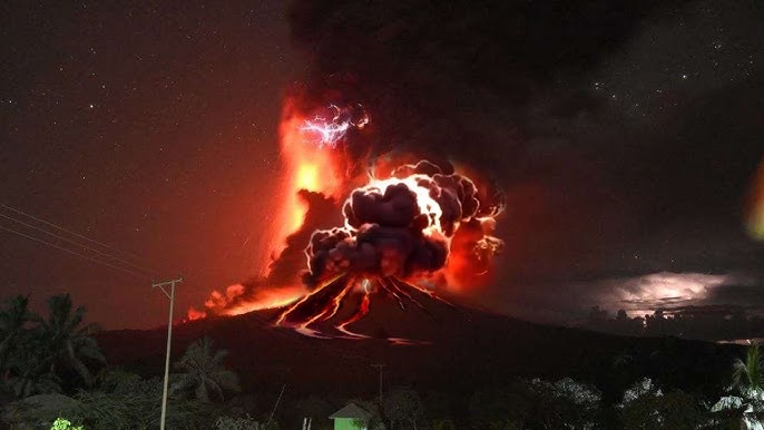
This intensified focus on safety comes at a critical time, especially with recent eruptions from Mount Lewotobi Laki Laki in Flores, around 800 kilometers from Bali. Starting November 3rd, Lewotobi Laki Laki erupted with ash clouds reaching over 2,000 meters, causing extensive disruptions. At least nine lives were lost in nearby areas, and the resulting ash clouds have led to multiple flight cancellations, impacting routes between Bali and Flores, as well as international connections with South Korea, Singapore, India, and Qatar.
The efforts now underway to regulate and monitor Bali's hiking trails signal a positive step towards a safer environment for adventurers. While these new systems may take time to fully implement, tourists can anticipate additional safety guidelines and protocols in early 2025, creating a more secure experience on Bali's beloved mountains.


 Billy Bagus
 Nov 14, 2024


